01
CAPTURE
Capture.
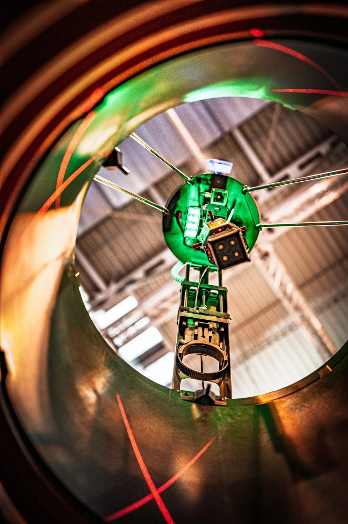
Five high-resolution cameras document the visible structure surfaces during the automated scan.Mobile manhole inspection, laser-based geometry capture and digital asset data in one continuous workflow.
Georeferencing: With supplementary surveying equipment, the point cloud can be referenced in plan and elevation.
CleverScan is not a conventional camera solution. The system combines optical inspection, laser-based measurement and structured documentation to create a robust digital basis for condition assessment, planning, operation and rehabilitation.
Automated capture creates reproducible datasets instead of isolated snapshots. The value lies not in a single image, but in the relationship between visible condition and measured geometry.
Capture.
Five high-resolution cameras document the visible structure surfaces during the automated scan.Measure.
Twelve line lasers capture the manhole geometry. Four additional lasers record the invert area.Position.
With supplementary surveying equipment, the point cloud can be tied into plan and elevation control.Document.
K3000 combines operation, evaluation and documentation and supports downstream processing of the results.Optical inspection and real laser measurement in one mobile system.
The camera head is lowered into the structure under controlled conditions. During the automated run, image and measurement data are captured synchronously — the basis for a coherent digital record of the structure.
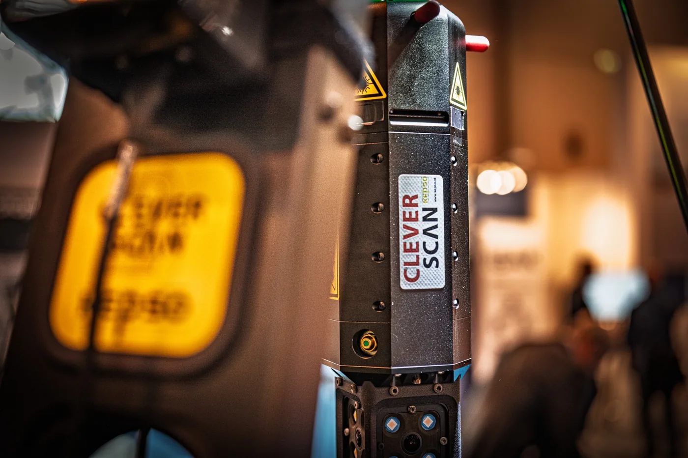
Four side cameras and one front camera provide high-resolution image data. The resulting overall image and model are available in 4K resolution. Integrated lighting supports consistent optical capture.
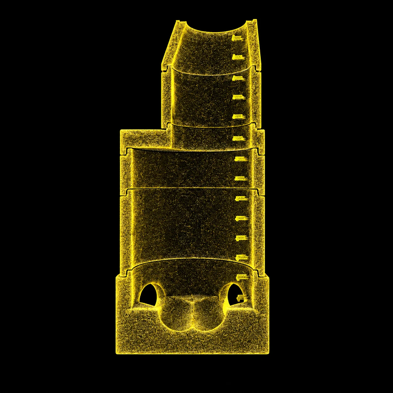
The side lasers capture the geometry of the manhole wall. This forms the spatial basis of the point cloud.
Downward-facing lasers extend geometry capture to the lower manhole area and the invert.
Image data show condition. Laser data describe geometry. Only the combination of both layers makes the structure technically reusable as data.
Condition information is documented at high resolution and reproducibly.
The lasers provide a geometric representation of the captured surfaces.
Additional surveying equipment ties the point cloud into a higher-level spatial reference.
CleverScan generates the geometric point cloud of the structure. Supplementary surveying equipment is required for plan and elevation reference. If it is integrated from the outset, inspection, geometry and spatial referencing can be combined in one workflow.
K3000 is the central operating, evaluation and documentation environment for CleverScan.
HAITE software brings together the point cloud, textured 3D model and detected components in one workflow. Results can be documented in a structured way and processed for existing data structures.
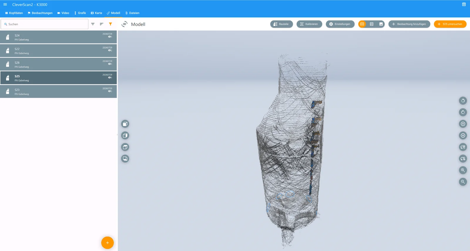
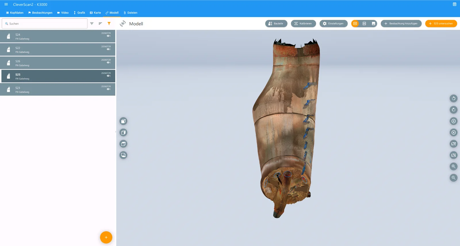
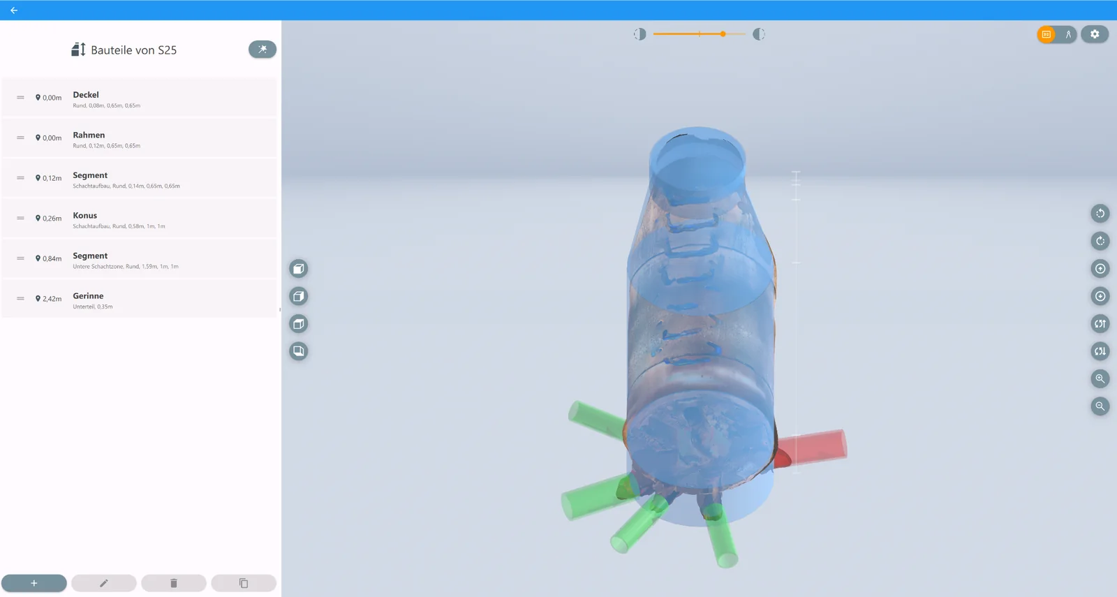
Control CleverScan in operation.
Combine image, geometry and model.
Archive and hand over results in a structured format.
Software partner for K3000.
Approx. 21 kg system weight. No dedicated inspection vehicle. Laser-based measurement even where drivable access ends.
Professional inspection starts not with the device, but with the information required.
CleverScan is designed for high information value per captured structure — not for the maximum possible number of directly accessible manholes per day.
Effectively shade the manhole opening. Direct external light and overexposure can impair detection of reflected laser lines.
Position the system as centrally as possible above the structure so that the camera head and lasers can reliably capture the lower manhole area.
Wet, highly reflective or optically difficult surfaces can affect laser evaluation. Immediate data verification is part of proper operation.
Transport, set-up and positioning are part of the mobile workflow and affect daily throughput in serial surveys.
For complex structures, capture as a structure group is being further developed in accordance with DWA-M 145-3.
The objective is to document multiple manholes, chambers, pipe sections and other structure areas not only separately, but to combine them spatially in one common point cloud.
This function is explicitly not part of the currently available standard scope. Reference points, linkage of measurement areas and achievable accuracy must be assessed for each task.
Key performance data at a glance.
| Optical capture | 5 high-resolution cameras | 4 side cameras + 1 front camera |
|---|---|---|
| Overall image / model | 4K resolution | Result representation from the captured image data |
| Laser — manhole geometry | 12 line lasers | Capture of lateral structure geometry |
| Laser — invert | 4 lasers | downward-facing |
| Maximum working depth | 30 m | 30 m special cable / integrated cable reel |
| Max. structure diameter | 3 m | for manholes and comparable structures |
| battery operation | bis 9 h | largely autonomous full-day operation |
| System weight | approx. 21 kg | portable for manual transport |
| System dimensions | approx. 600 × 600 × 1,100 mm | portable set-up system |
| Scan time | < 1 min | Reference: manhole with 3 m depth |
| Software | K3000 / HAITE | Operation, evaluation, documentation |
| Georeferencing | with supplementary surveying | supplementary plan and elevation reference required |
Note: operating conditions, surfaces, shading and positioning influence the quality of laser data capture. Performance data must therefore always be assessed in the context of the specific measurement task.
Five high-resolution cameras document visible structural surfaces. Twelve line lasers capture shaft wall geometry; four additional lasers capture the lower shaft area, including the channel.
No. CleverScan has five high-resolution cameras: four side cameras and one front camera. The 4K specification applies to the composed overall image and model, not to each camera.
For a reference shaft 3 m deep, the scan itself takes less than one minute. Setup, positioning, data checks and relocation require additional time.
No. Absolute position and elevation references require additional surveying equipment and suitable control points.
Technical fundamentals, application logic and data processing with CleverScan – structured for operators, engineering firms, surveying and planning.
Optical inspection and geometry in one dataset
02Laser-based geometry of shaft wall and channel
03Geometric representation instead of isolated images
04Position and elevation reference with additional surveying
05Turning measurement data into usable structure information
06When mobility and geometry are required together
Manufacturer and developer of the CleverScan system.
kepso.at ↗ DEVELOPMENT PARTNER & SALES PARTNERTHE MALAMUTEDevelopment partner and partner for consulting, sales and demonstrations.
the-malamute.com ↗ SOFTWARE PARTNERHAITEK3000 — operation, evaluation and documentation.
haite.de ↗ CONSULTING · SALES · DEMONSTRATIONSenvirobotContact partner for consulting, sales and demonstrations.
envirobot.com ↗ SALES PARTNERVORTEX EUROPE GMBHContact partner for consulting, sales and demonstrations.
vortexeurope.de ↗Veranstaltungsforum Fürstenfeld, Fürstenfeldbruck. On site, the workflow, surveying, data processing and suitable applications can be discussed directly at the system.
Want to know whether CleverScan fits your specific task? The most useful next step is a demonstration on a real structure.